-

The story of the name Stillaguamish and the beginning of the relationship between the town and the tribe.
-

Arlington remembers the importance of the railroad here.
-

Arlington prospered from logging. But it took the railroad to wipe out its rival, Haller City.
-

The Railroad Made This Town
-

View from the new Centennial Trail bridge looking up the south fork toward the Lincoln Bridge on Hwy. 530 which goes to Darrington.
-

View of the south fork of the Stilly in the evening sun from the bridge deck
-

View from the Centennial Trail bridge over the Stilly looking up the north fork
-

The two forks of the river merge at the Centennial Trail bridge and then flow under it.
-

Each winter, the bridge becomes a log jam.
-

Highway 9 was re-directed over this new bridge over the Stilly a few years ago. The old bridge was torn down.
-

The Centennial Trail bridge is quite substantial because it was originally a railroad bridge.
-

The old Highway 9 bridge was parallel and adjacent to the railroad bridge. The only remnant left is the south bridge support.
-

The Lower Stilly starts under the Centennial Trail bridge and flows west through farmland to Puget Sound.
-

Closer view of the North Fork. Looks calm now but it's a raging torrent during the winter rains.
-

My favorite view of the Stilly. I've never traveled this section of the river but I've canoed downstream from Arlington to Silvana.
-

The trail uses an overpass to cross over a road to the gravel quarry just north of the river.
-

Farming flourished in the valley to feed the growing town. The population grew quickly.
-

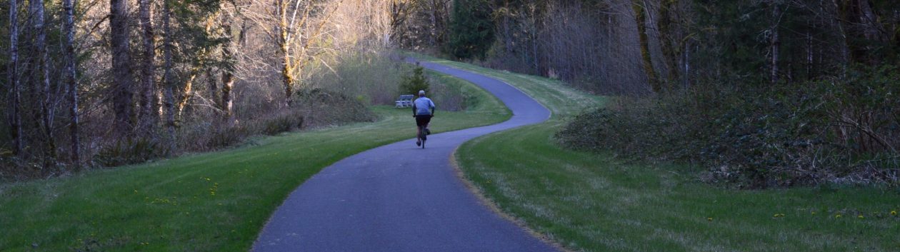
The trail follows north out of Arlington. This stretch is near Highway 9 and the vehicular traffic tends to spoil your experience of the lower Stilly valley.
-

The Gravel Quarry just north of town decimated a large area, but it seems to be running out of gravel and now is becoming a very beautiful natural environment (in places).
-

The intersection of Highway 9 and the gravel quarry road. This view from the trail is looking west (into the sun). Someday I'll come back in the morning and get good light on the subject.
-

This trail-side park bench view of the lower Stilly Valley was a great place to sit and contemplate. Then someone plopped a bunch of houses there. Sorry for the photo; I'll re-shoot.
-

The Stillaguamish Tribe fish ladder and hatchery are just a mile north of Arlington. From the trail you can see them through the woods.
-

The Stillaguamish Tribe raises salmon of different species. I think they are released right there at the hatchery where they take the tributary on down to the Stilly.
-

This not-so-great photo shows the tributary of the Stilly that runs under the trail and into the fish ladder on the other side.